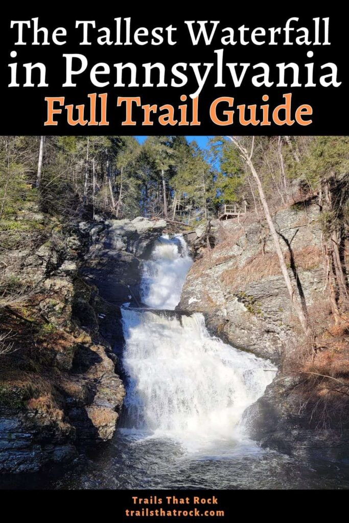
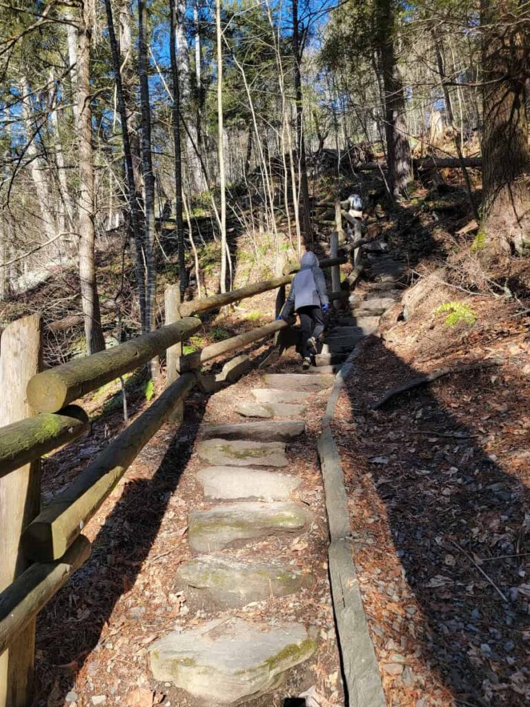
The hike to Pennsylvania’s tallest waterfall is short, but not exactly easy! To get to Raymondskill Falls, you’ll have to navigate steep trail sections and several sets of stone or wood stairs.
The 3/10-mile loop is a fun addition to other trails in the area, including Hackers Falls and Cliff Trail. And it’s beautiful to visit year-round, especially in winter or early spring when the water is flowing fully.
If you’re thinking about visiting the tallest waterfall in Pennsylvania, the guide below has everything you need to know!
In this day and age, I feel the need to mention that I don’t use AI to write my posts!
I’ve hiked these trails, taken these photos, and collected this information personally (sometimes with the help of my friends, who are also real, live people). I appreciate you being here and utilizing my work for your future endeavors.
Also: Some of the links below are affiliate links, meaning that, at no additional cost to you, I may receive a commission if you click through and make a purchase.
Thank you for your support!
Pennsylvania’s Tallest Waterfall
Raymondskill Falls, named after local settlers (Raymonds) and the Dutch word for stream (kill), is Pennsylvania’s tallest waterfall!
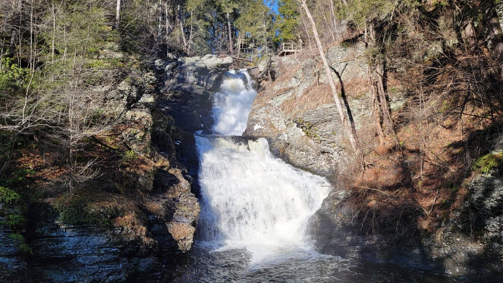
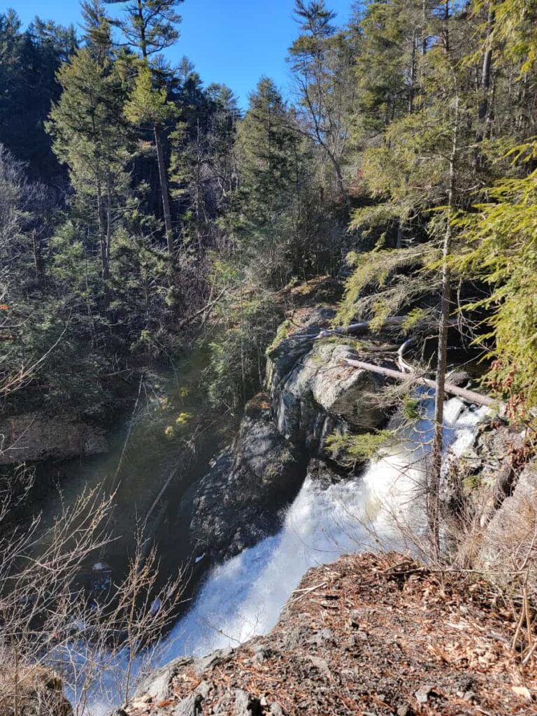
Made up of three tiers, the waterfall is 150 feet tall (although some sources say 178 feet…) and is a popular attraction in the Delaware Water Gap National Recreation Area.
Prepare For Your Hike to Raymondskill Falls
Parking
There are two small parking lots on Raymondskill Road. Both hold a couple dozen cars. The Upper Lot is closed from the beginning of January until mid-April. The Lower Lot is open year-round.
Between Memorial Day and Labor Day, both lots are closed on weekends between 10 am and 4 pm. During those times, you’ll have to park at the Milford Knob Trailhead Parking lot and take the FREE shuttle to the waterfall.
Amenities
There are restrooms at the Upper Parking Lot on Raymondskill Road. Keep in mind, they are closed from January to mid-April. Picnicking is not allowed at Raymondskill Falls.
Day-Use Fees
As of publication, the National Park Service does not charge an entry fee for the Delaware Water Gap National Recreation Area.
Pets
Dogs are not allowed on the trail to Raymondskill Falls
Cell Service
Cell service is spotty inside Delaware Water Gap.
Maps
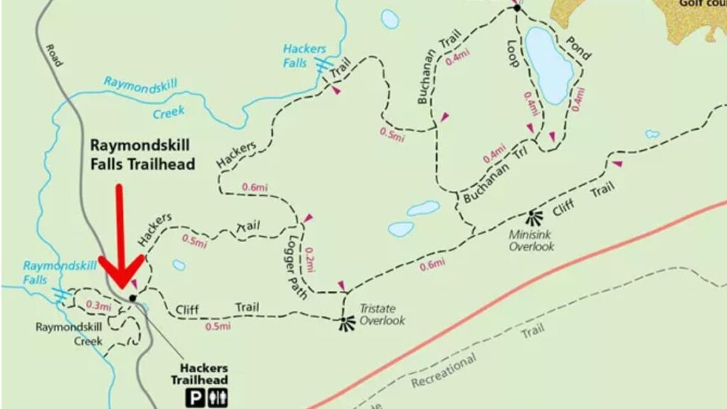
Maps of the trails can be found on the National Park Service website. You can find the Raymondskill Creek Trail map here.
Be Prepared
Even though it’s a short trail, it’s always good to be prepared with the basic hiking essentials.
Be a Responsible Visitor
Remember, as you visit this area, respect nature. Stay on established paths, pack out your trash (including food waste), and leave what you find behind.
The more popular these destinations become, the more we need to be diligent about keeping our parks and lands clean and safe for all. You can learn more here.
Hiking the Raymondskill Creek Trail
| Trail Location: | 41.29032969955007, -74.8401325501427 on Raymondskill Road in Milford, PA |
| Trail Length: | 3/10 mile |
| Trail Difficulty: | Moderate due to the number of stairs along the trail |
| Trail Type: | Loop |
| Elevation Gain: | 180 feet |
| Dog Friendly: | No |
Starting the Trail
We visited during winter, so we parked in the Lower Lot and grabbed the trail from there. There is a short spur from the Upper Parking Lot as well.
Clockwise or Counterclockwise
Which direction should you choose? We went clockwise on the trail, which led us to the lower falls first and then up to the upper viewing platform.
However, either direction has its pluses and minuses. I didn’t mind climbing up the steps to the upper viewing platform. It was steep, but we stopped a few times to take in the view and even look at a “cave” along the trail.
Along the Trail
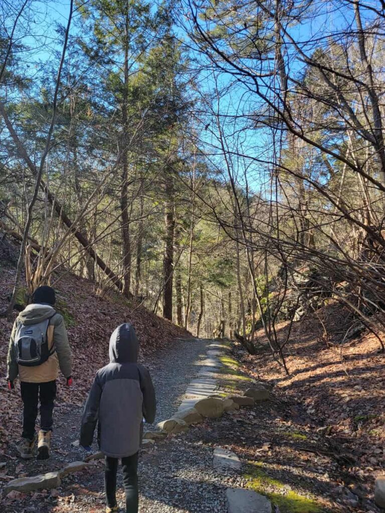
The trail starts out kind of flat but quickly descends down to the waterfall. The trail is steep in sections but also features several stairs, making the descent feel a little easier.
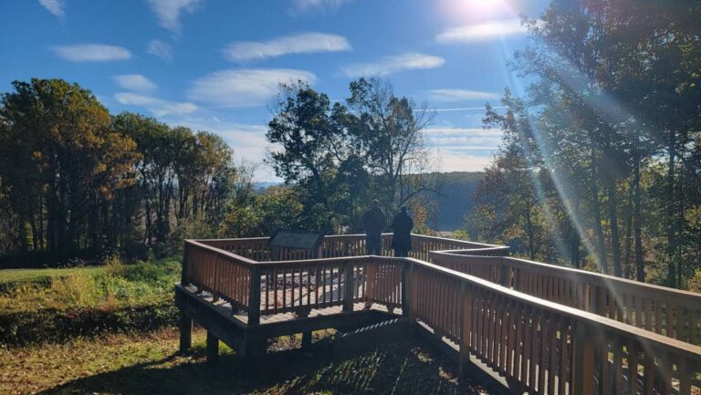
Viewing Platform
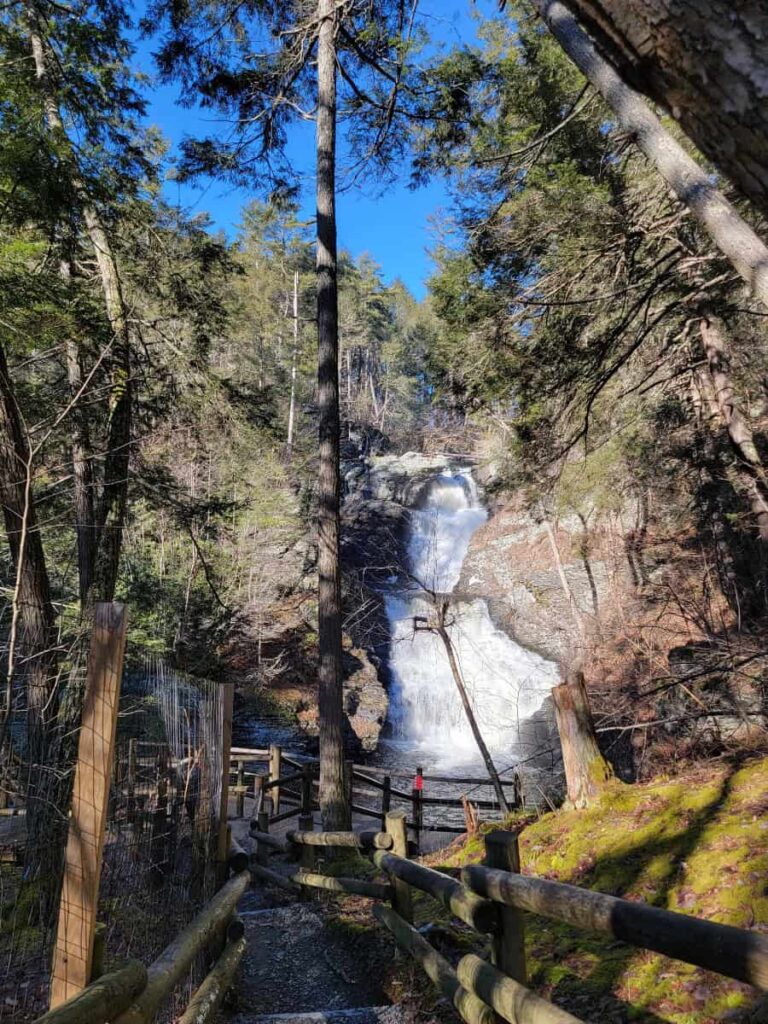
There is a large viewing platform situated between the second and third tiers of the waterfall. From here, you can get a great view of the middle tier, then turn around and watch the water flow over the edge of the third tier.
Good to Know: We visited during winter and the platform was very icy. Be careful or make sure ot wear crampons if you’re hiking during the winter.
Climbing Up to the Top
After checking out the lower viewing platform, climb up the stone steps to the upper viewing platform where you can see the middle and upper tiers. Don’t forget to stop and check out the “cave” on the route.
This doesn’t offer as good a view as the lower platform, but it gives you a good perspective on how tall the waterfall is!
Back to the Parking Lot
After the upper falls viewing platform, backtrack a bit to follow the trail to the parking lot. Although there is still a little more ascent, it’s not too steep, so it feels like an easy return. There is access to both the Upper Lot and the Lower Lot on this part of the trail.
Other Hikes Near Raymondskill Falls
When we visited Raymondskill Falls, we also hiked to Hackers Falls, using the same parking lot. The trail to Hackers Falls starts across the street from the Lower Lot. We did the Cliff Trail/Buchannan Trail/Hackers Trail loop, which is about 3 miles. You can also treat it as an out-and-back on the Hackers Trail, which will be about 2 miles.
Of course, many people enjoy the easy trail to Dingmans Falls or the waterfall loop at George W. Childs Park. But there are so many great trails in the Delaware Water Gap. Some of our favorites include Mount Minsi and Mount Tammany.
Pin It For Later