In the northernmost corner of Montgomery County, PA, sits a small but very pretty preserve. And this is where you’ll find the highest point in Montgomery County!
The Mill Hill Preservation Area is just over 230 acres and sits along Hosensack Creek. It has several miles of trails, ranging from flat and easy to rocky and challenging. It’s the perfect spot for a quick morning hike or just to spend some time in the woods.
I had fun exploring the preserve on a beautiful fall day. When I visited, I was the only one there! But the park can get busy on the weekends.
If you’d like to hike to the highest point in Montgomery County, check out the guide below. It has everything you need to know before you visit.
Disclosure: Some of the links below are affiliate links, meaning, at no additional cost to you, we may receive a commission if you click through and make a purchase.
Prepare For Your Hike at Mill Hill Preserve
Parking
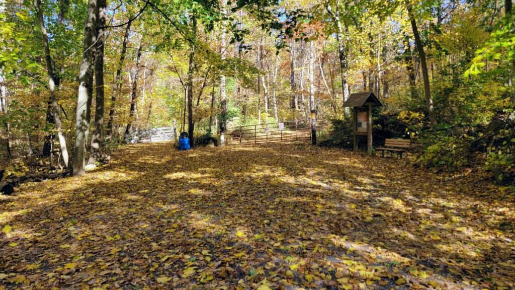
Mill Hill Preservation Area has two parking areas. The main lot, on Ziegler Road, holds about 10 cars. A second, smaller lot is available at the corner of Mill Hill and Warner School Roads.
Amenities
There are no bathrooms in Mill Hill’s parking area. There are reports of a porta-john along the Orange Trail near the creek, but I didn’t take that route to confirm. If you’re desperate, there is a Walmart a mile down the road on Gravel Pike in Greenville.
Take Precautions
Hunting (when in season) is allowed at Mill Hill Preservation Area. During hunting season, it’s best practice to wear bright orange (like this hat or vest) when hiking through state game lands.
Download a Map
The trails at Mill Hill Preserve are very clearly marked. But it’s always good to have a map.
Be a Responsible Visitor
Remember, as you visit this park, to respect nature. Stay on established paths, pack out your trash (including food waste), and leave what you find behind.
The more popular these destinations become, the more we need to be diligent about keeping our parks and lands clean and safe for all. You can learn more here.
Hike to Highest Point in Montgomery County, PA
| Trail Location: | Access the trail on the north side of the parking lot |
| Trail Length: | 1.5 miles |
| Trail Difficulty: | The Red Trail portion is moderate, with steep and rocky sections, while the Orange Trail portion is easy and flat. |
| Trail Type: | Loop |
| Elevation Gain: | 150 feet |
| Dog Friendly: | Yes |
Trailhead
This loop starts and ends on the Orange Trail, which is on the other side of the large gate at the parking area. You’ll see another trail to the left of the gate, which is the other end of the Orange Trail. If you want an extended hike, you’re more than welcome to go that way.
The Red Trail at Mill Hill Preserve
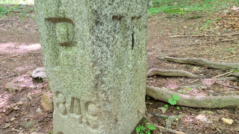
Follow the Orange Trail for about 100 feet until you see a short stone pillar and red blaze attached to a signpost on your right. The Red Trail was cleared and dedicated as an Eagle Scout Project by BSA Troop 79.
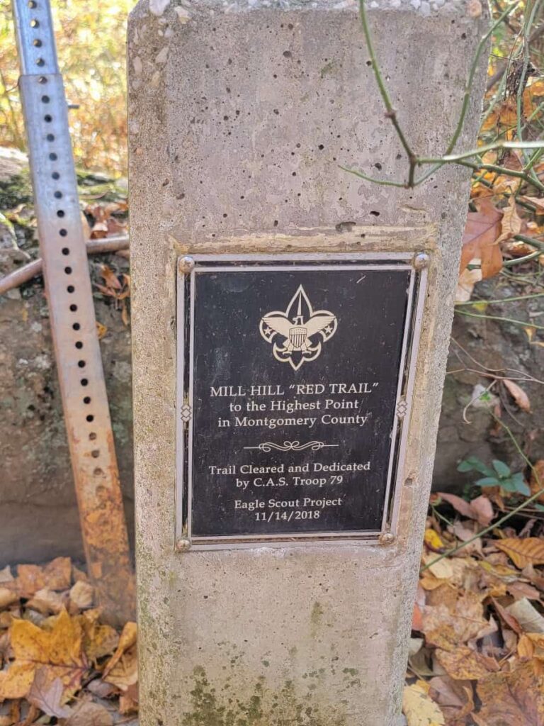
The Red Trail starts off steep and rocky and doesn’t get any easier until you get close to the highest point. Although the trail was not obvious by looking at the ground thanks to all of the leaves, there were plenty of red trail markers to indicate the correct way to go.
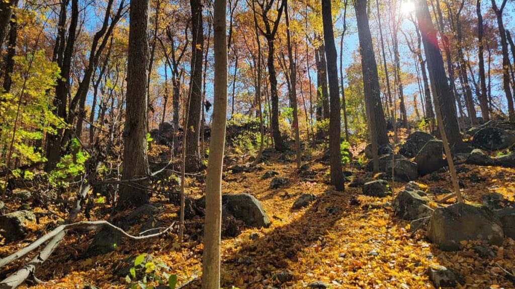
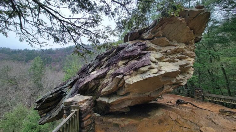
There are some fun spots along the trail where you can climb on large boulders and check out a small cave.
Overlook and Highest Point
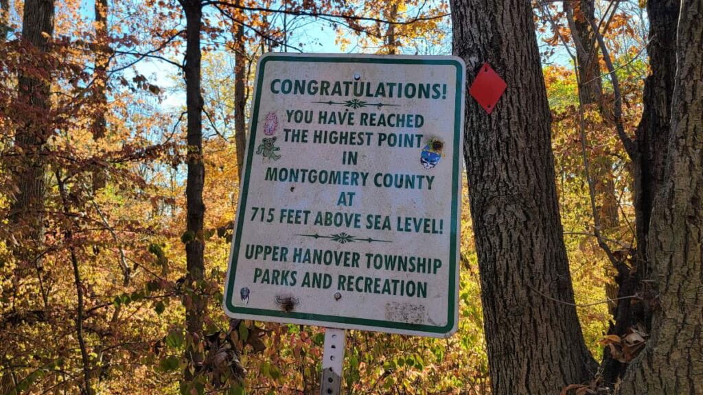
There is no overlook at the highest point in Montgomery County. There is a sign indicating you have reached the top. Yay! Congratulate yourself. You did it!
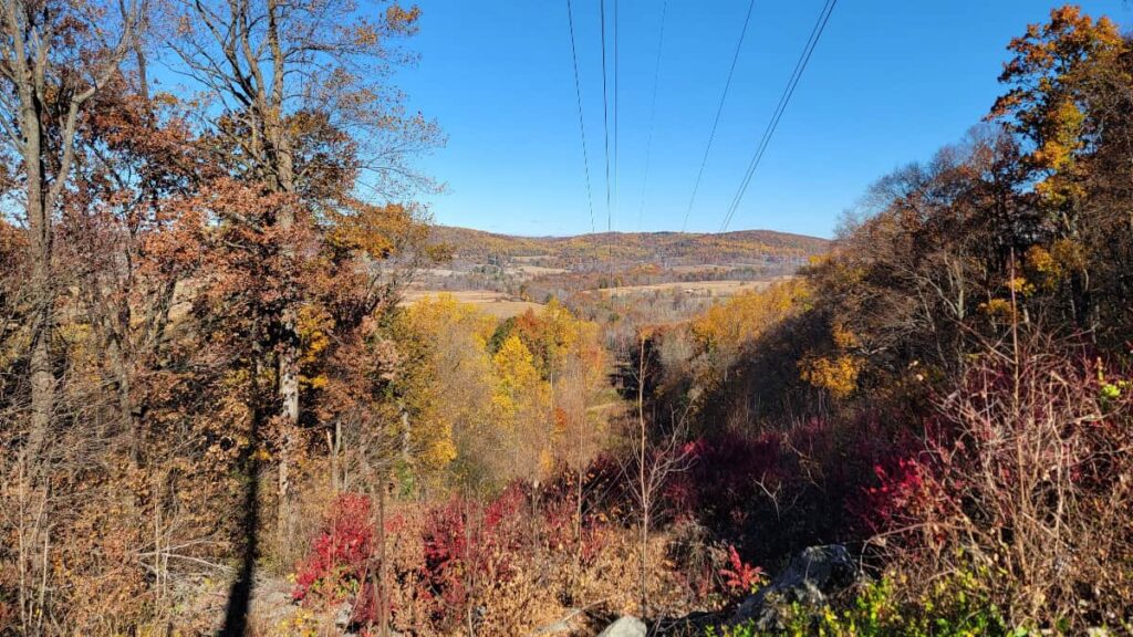
However, just before the overlook, thanks to the electrical wires overhead, there are two clearings. The first looks south towards East Greenville and is right on the trail. The second requires going off-trail about 20 feet and looking north towards farms in Palm. Both are very pretty!
After you reach the sign, continue following the Red Trail. Be careful in this section, as it’s just as steep going down, and can be slippery, especially with leaves on the ground or just after a rain.
The Orange Trail
The Red Trail dead ends at a clearing where you’ll have the option to follow the Blue, Teal, or Orange trails. To keep this hike at 1.5 miles, make a left onto the Orange Trail, which will take you back to the parking area. This section is flat and easy.
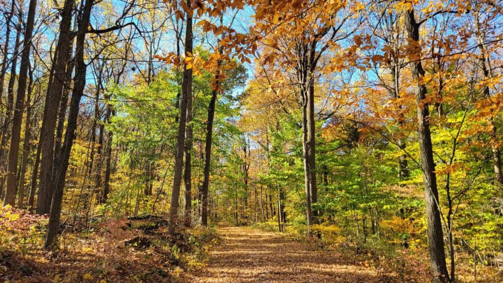
If you’d like to extend the hike, you can follow the other trails to make a longer loop. However, the Blue Trail is reported to be overgrown, so wear long pants. The Orange Trail loop is 1.7 miles in total and includes gravel, grass, and dirt. It can be muddy, especially in the winter and spring.
Mill Hill Preservation Wrap Up
Overall, the Orange to Red Trail Loop at Mill Hill Preserve is a fun and short (yet challenging) trail. It’s worth visiting, especially if you live nearby. It’s not my favorite trail in Montgomery County (that title belongs to Mount Misery), but it’s still worth your time.
I think the Orange Trail loop would be great for families with young children as a way to introduce them to hiking and the outdoors.
If you like this trail, you’d also enjoy the trails at Monocacy Hill Recreation Area in Douglassville or the Wildlands Conservancy South Mountain Preserve in Emmaus, both about 30 minutes away.
Related Content
Pin It For Later


