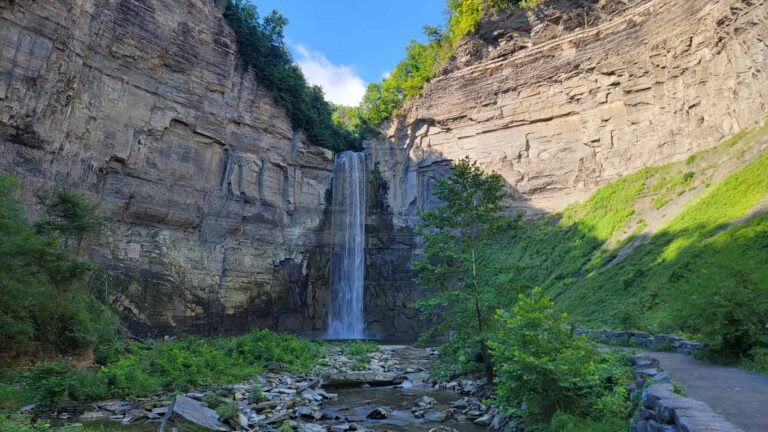
If you love steep, rocky inclines and amazing views, then you will love the Storm King Mountain Loop!
We hiked the loop on a very busy Saturday afternoon in October. The price we paid for the crowds was gorgeous fall foliage. And I think it was worth it!
The 2.6-mile loop is definitely on the harder side of moderate, thanks to some of the scrambles, and it’s also dog-friendly. If this hike is on your bucket list (and it should be!), check out the full guide below before you head out on the trail.
In this day and age, I feel the need to mention that I don’t use AI to write my posts!
I’ve hiked these trails, taken these photos, and collected this information personally (sometimes with the help of my friends, who are also real, live people). I appreciate you being here and utilizing my work for your future endeavors.
Also: Some of the links below are affiliate links, meaning that, at no additional cost to you, I may receive a commission if you click through and make a purchase.
Thank you for your support!
Multiple Trail Combinations
There are over 17 miles of hiking trails at Storm King State Park! It’s definitely one of the best places to hike near West Point. The trail outlined below is 2.6 miles and includes Butter Hill Trail, parts of Highlands/Stillman Trail, and the Bypass Trail. However, there are several ways you can lengthen your hike as long as you’d like! I’ll note some options below.
What to Know Before You Hike Storm King Mountain Loop
Location
Storm King State Park is huge, and there isn’t one centralized area of the park. The trailhead for this loop is located at 1750 US-9W in Cornwall-On-Hudson, New York. On the park map, it’s the “P” at the bottom of the white trail.
Parking
For this particular loop, we parked at the small lot on N Rte 9W. The lot holds about two dozen cars and can fill up pretty quickly since this is a popular area of the park. We were lucky to find parking near the exit of the lot when we visited on a Saturday morning in the fall. It was packed! Be mindful of the no-parking signs.
Amenities
There are no bathrooms at the parking area and trailhead for the Butter Hill/White Trail loop. We saw a picnic table, if you’d like to eat lunch before or after your hike. If you’re desperate for a bathroom, there is a CVS about a 5-minute drive away and a Shop Rite and gas stations about 10 minutes away.
Cellular Service
We had cell service on the trail, but at some points it wasn’t too strong.
Pets
This trail is dog-friendly. In fact, we saw (and got to pet) several pooches on the trail.
Bring The Essentials
Water, snacks, and more! Find the full list of day-hike essentials here.
Be a Responsible Visitor
Remember, as you visit this park, to respect nature. Stay on established paths, pack out your trash (including food waste), and leave what you find behind.
The more popular these destinations become, the more we need to be diligent about keeping our parks and lands clean and safe for all. You can learn more here.
Hike the Storm King Mountain Loop
| Trail Location: | At the west end of the parking lot. |
| Trail Length: | 2.6-mile loop (can be lengthened or shortened) |
| Trail Difficulty: | The trail is on the harder side of moderate. It is very steep for the first half-mile. |
| Trail Type: | Loop |
| Elevation Gain: | 740 feet |
| Dog Friendly: | Yes |
Starting the Hike
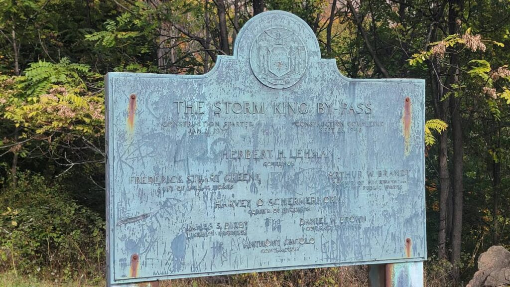
Both the Butterhill and Bypass trails terminate at the parking lot. We chose to go clockwise on the loop, starting with the Butterhill (Orange) Trail. And immediately, you are trekking up a steep, rocky incline.

There was a large group of hikers (like, 30-40 people!) ahead of us. We caught up to them quickly and then had to bide our time trying to find space to pass. So for the first half-mile, we kind of rushed through. I definitely did not get enough pictures!
Steep and Rocky
The first half-mile of the trail is very steep and rocky. There were times when we were using both hands to help us get up the trail.

At the top of one of the steep sections, you’ll find some ruins.
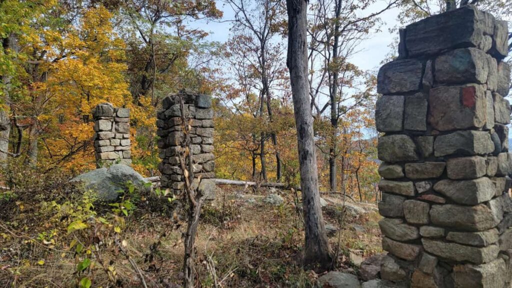
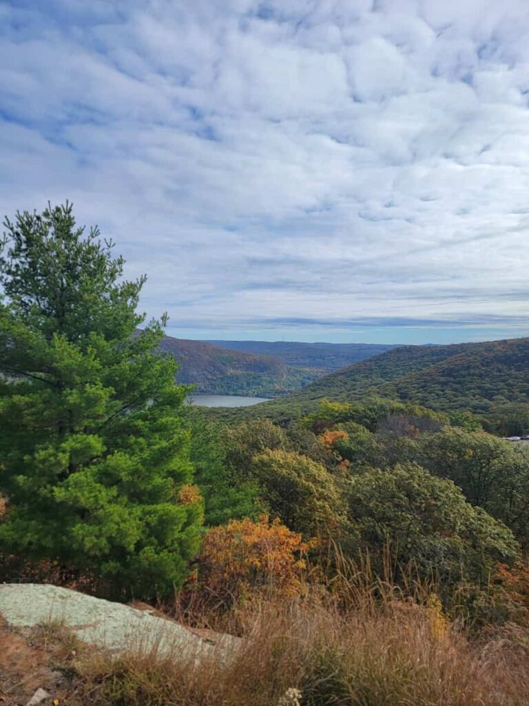
We did stop to enjoy some of the gorgeous views along the way! (Before rushing to try and stay ahead of the big group).

Connecting to Highlands/Stillman Trail
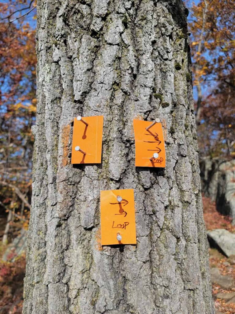
The Orange Trail ends after one of the crazy 4-point climbs. I read another guide that really emphasized turning right at the top of the Orange Trail onto the Teal/Yellow Trail. I guess that guide was popular because there are arrows drawn onto the Orange Trail markers! So make sure you turn right to continue on this trail.
Highest Point
About 0.6 miles into your hike, you’ll reach the highest point along the trail and the top of Butter Hill. I took a picture of the geological marker, but not the view for some reason… I think I was still pretty flustered from the big group and rushing up the mountain.

But I promise you, you have 360° views up here! And they are breathtaking. But don’t break out your snack or lunch just yet, because you’re not at the halfway point just yet!
The Highlands/Stillman Trail
This section of the hike is pretty mellow. For the next 0.7 miles, you’ll have a nice walk on the ridgeline, encountering occasional large boulders and rocky paths, but it’s relatively easy compared to the climb at the start.

There are also several spots to stop and enjoy the view! This is a seriously scenic trail.
Trail Modifiers
While on the Teal/Yellow Trail, you pass two other trails, the Howell (Blue) Trail and the Bluebird (Blue/Red) Trail. You can use them to either shorten or lengthen your hike.
Shorten the Hike: Howell (Blue) Trail intersection. If you’ve seen enough and are ready to head back to the car, you can cut the hike short by taking a right onto the Blue Trail and connecting to the White Trail. That’ll make your hike about 1.5 miles.
Lengthen the Hike: Right before you reach the Blue Trail intersection, about 0.7 miles into the hike, you’ll see the Bluebird (Blue/Red) Trail on your left. If you take that to connect to the Highlands/Stillman (Teal/Yellow) Trail, you can create a lollipop loop that is about 3.4 miles long.
Views, Views, and More Views!
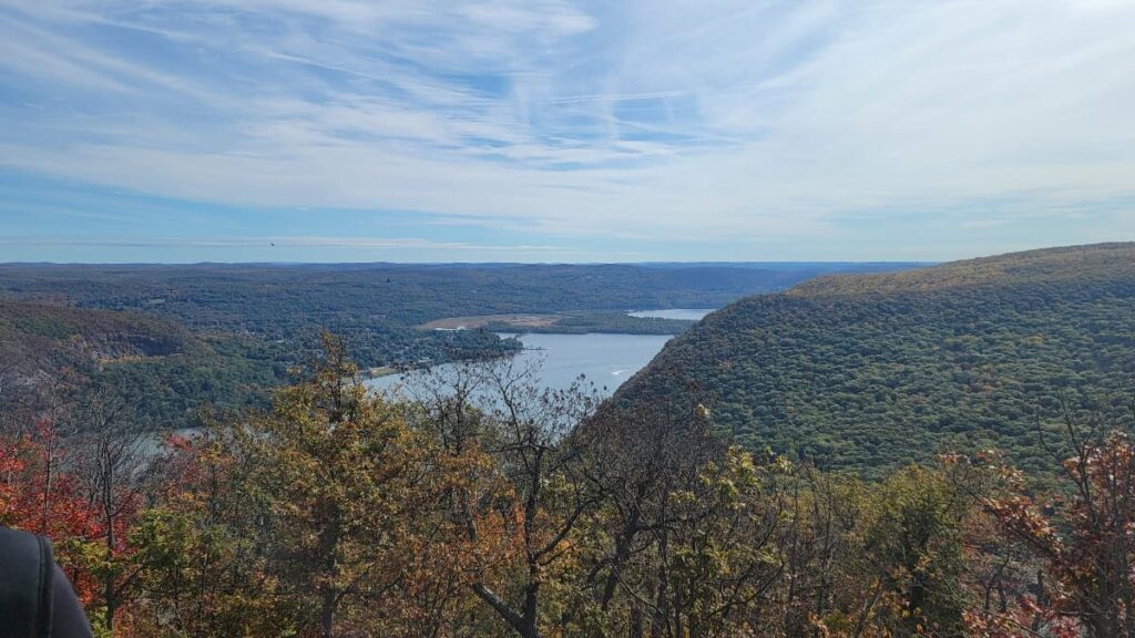
Before the trail connects to the Bypass (White) Trail, you’ll have several opportunities to sit and take in the view of the Hudson River.

The first couple of spots look north, and then the next couple look south. Any of those are great places to stop for a bit to refuel on food before continuing.
The Bypass (White) Trail
After all of the amazing vista spots, you’ll see the White Trail on the right, and the Teal/Yellow Trail goes left. Go right onto the White Trail and follow that back to the parking lot.
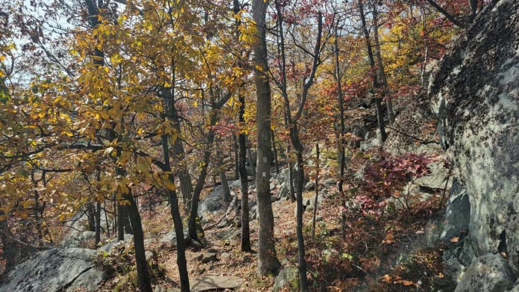
Keep an eye out for the blazes. There were a few areas where we lost the trail, including where the Blue Trail intersects.

As we approached the parking lot, we were greeted by one last steep incline. Thankfully, still not as crazy as the start of the hike! And knowing we were almost at the end made it feel a little easier.
Other Hikes Nearby
Although you can easily spend a whole day hiking all of the fantastic trails at Storm King State Park, there are also tons of great trails nearby.
We hiked the Popolopen Torne Trail later in the afternoon after the Storm King Loop. This was a fun trail with the ropes and rock scrambling. I highly recommend it!
Other popular trails in the area are Anthony’s Nose and the Cornish Estate Trails across the river. And of course, there are even more trails within Bear Mountain State Park.
Storm King Mountain Loop Trail Wrap-Up
Overall, this was a great trail and totally worth the effort to scramble up! I would love to do this again when it’s maybe not as crowded. I’m not sure if it was because it was peak fall foliage or if it’s usually busy on the weekends. The crowds didn’t ruin it for us, though.
Looking back, the trail reminded me of the Mount Tammany Red Dot Trail in New Jersey, with its steepness, rocky scrambles, and popularity. Though this trail has better views (I still think Mount Tammany is worth it!).
Pin It For Later